Master ArcGIS Pro, Remote Sensing & Earth Engine
Elevate your career with live practical classes, real-world GIS projects, and direct mentorship from industry-leading geospatial experts.

Practical Demo Overview
Explore GEO Academy in Action
Watch our official overview video showcasing practical GIS workflows, satellite imagery analysis, and real-world project training.
Real GIS Workflows
ArcGIS Pro & QGIS practicals
Satellite Imagery
GEE & Landsat/Sentinel
Hands-on Training
Portfolio-ready capstone tasks
Universal Applications of GIS
Our curriculum is built around real-world utility. Master the techniques that power global decision-making.

Environmental Monitoring
Predict deforestation, track climate change effects, and manage natural resources using advanced satellite imagery and vegetation indices.
Urban Planning
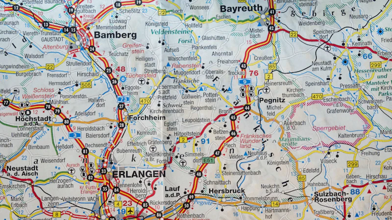
Design smarter cities through spatial modeling, transportation network analysis, and utility management systems.

Precision Agriculture
Optimize crop yields by analyzing soil health, moisture levels, and growth patterns via drone and satellite data.

Disaster Management
Create rapid response maps for floods, wildfires, and earthquakes to assist emergency services and NGOs in saving lives.
ArcGIS Pro Mastery Roadmap
A structured, step-by-step journey from opening your first project to conducting deep spatial analysis.
Fundamentals & Data Acquisition
Learn the ArcGIS interface, coordinate systems, and how to source high-quality spatial data from vector and raster repositories.
- check_circle Georeferencing techniques
- check_circle Attribute table management
Spatial Analysis & Modeling
Moving beyond mapping. Use advanced geoprocessing tools to solve complex spatial problems like site selection and surface analysis.
- check_circle Suitability Modeling
- check_circle Hydrological Analysis
Why Train With Us?
Live Interactive Classes
Not just pre-recorded videos. Join live sessions where you can share your screen and get instant help.
FREE Demo Session
Experience our teaching methodology before committing. Sign up for a free 60-minute intro class.
Post-Class Recordings
Missed a session? Every live class is recorded and uploaded to your personal dashboard for lifetime access.
Alumni Community
Join a network of over 500 graduates sharing jobs, projects, and GIS tips daily.
Software You Will Master
ArcGIS Pro
ArcGIS 10.8
QGIS
HEC-RAS
Google Earth Engine
What Our Graduates Say
GIS Mapping & Freelancing Services
We deliver professional geospatial analysis, custom mapping, and satellite image processing deliverables for global clients.
 Web GIS
Dynamic Agricultural Web Map
Interactive web-based GIS map displaying real-time NDVI indices and moisture levels for large scale corporate crop fields.
Hydrology
Flood Inundation & Hazard Mapping
Complete watershed analysis and HEC-RAS flood plain models prepared for city emergency evacuation networks.
Urban GIS
Site Suitability Analysis
Advanced multi-criteria spatial decision analysis (MCDA) conducted to determine optimal green residential housing sites.
Frequently Asked Questions
What is the course duration? expand_more
The core training spans 12 weeks, with 3 live sessions per week. However, you maintain lifetime access to all materials and our alumni community.
Do I need a prior GIS background? expand_more
No. Our Beginner to Advanced track starts with the very basics of spatial thinking and builds up to professional modeling and programming.
Is a certificate provided? expand_more
Yes, upon successful completion of the capstone project, you will receive a verifiable digital certificate recognized by our industry partners.
Start Your GIS Career Today
Don't just learn a software, master a profession. Join the next cohort and transform your future with Geospatial Intelligence.